We specialize in providing cutting-edge tools, including SLAM LIDAR systems, and offer comprehensive training programs to ensure effective use of these technologies. Our mission is to enable local researchers, communities, and enthusiasts to unlock the secrets of the ocean with confidence and expertise.
What is SLAM LIDAR?
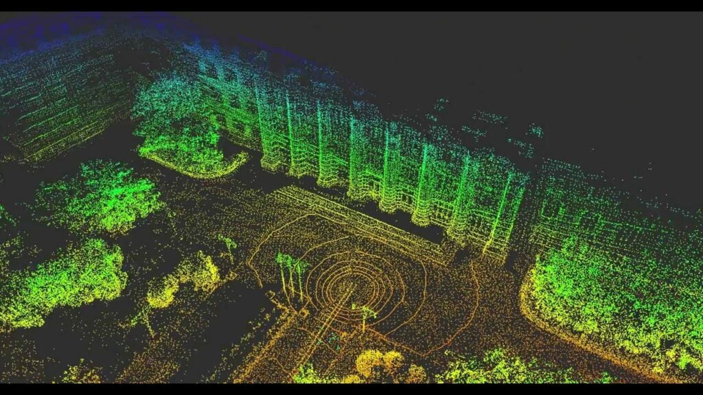
SLAM LIDAR, which stands for Simultaneous Localization and Mapping using Light Detection and Ranging, is a technology used to create detailed maps of environments while simultaneously tracking the location of the mapping device. It works by sending out laser pulses that bounce off surrounding objects and return to the LIDAR sensor. By measuring the time it takes for these pulses to return and combining this information with data from motion sensors, SLAM LIDAR can create accurate maps and determine the precise location of the device in real-time.
In simple terms, SLAM LIDAR is like using a flashlight and a GPS together. Imagine walking through a dark room with a flashlight, illuminating objects around you, and at the same time, using a GPS to track your movements. SLAM LIDAR combines these two functions, allowing us to see and map the environment while knowing exactly where we are within it.
Ocean Data Pty Ltd is committed to sustainable and responsible exploration. Our technologies and training programs promote the careful study of marine environments, ensuring the preservation of our oceans while uncovering their many wonders. Through our efforts, we aim to foster a new generation of ocean explorers equipped to contribute to global marine knowledge and conservation.